
Innovative Mapping: Aerial Intelligence Meets Virtual Realms for Education and Planning
A solution proposed for the challenge Hacking for Aerial Deliveries: GIS in Drone Technology
Solution details
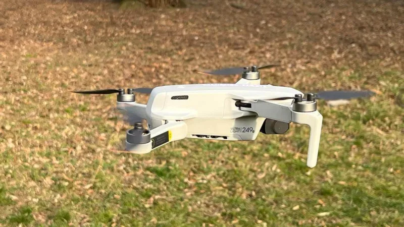
Drones capture urban data processed in ArcGIS, creating a spatially organized fishnet grid with our machine learning algorithm. Imported into Minecraft, it offers an immersive experience for public engagement, especially for laymen. Urban planners leverage this for feedback and workshops, fostering inclusive and participatory decision-making for urban planning. Educators utilize it for peer-to-peer learning in geography and public space.
Tweet / Slogan
How to use drone image & GIS to recreate your city in minecraft? Drone tech & machine learning brings education & participatory urban planning to whole new level! #Dronecraft #Drone4Edu
Dronecraft
Back to Hacking for Aerial Deliveries: GIS in Drone Technology